




Exhibits
Application for 3D Multi-Objective Stereo Cadastre
Contact Supplier
Company's Brief Introduction
Space is one of the most important forms of our sensibility. When analyzing things spatially or even simply putting them on the map, we can often discover many hidden patterns.
Product Name
Application for 3D Multi-Objective Stereo Cadastre
Features of Product
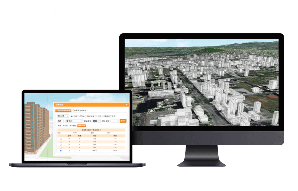
Under the trend of the development and promotion of smart cities around the world, the construction and presentation of two-dimensional maps in the past can no longer meet the needs of specific fields, such as underground pipelines, construction ownership, air pollution, etc., all need to express vertical attributes more accurately. Moreover, the production and display of spatial data in three-dimensional can simultaneously express the relationship between the horizontal and vertical of the spatial objects, which can bring more realistic experience to the user, and is one of the priorities of the future development of the geographic information system.